Search
loader-image
54°F

The Trails
Are Calling

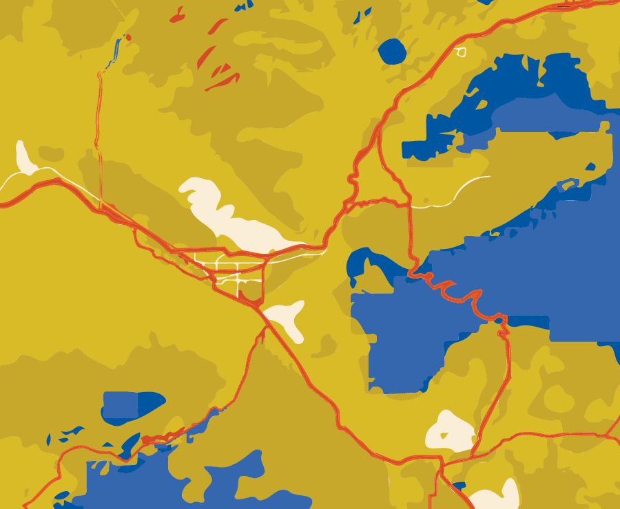
The Grand Valley is a premier destination for hiking and trail running due to its diverse landscapes, stunning scenery, favorable climate, extensive trail networks, and easy access. Whether you prefer the thrill of running along the rim of a canyon or the tranquility of hiking to a hidden waterfall, there’s sure to be a trail suited for you.

Where to
Hike and Run

For a comprehensive guide book, we recommend you take a gander at Visit GJ’s Grand Junction Adventure Trail Guide that highlights a number of trails and provides a brief summary to include trailhead locations, mileage and level of difficulty.

Another great resource, targeted to Trail Runner’s but just as useful to hikers, is Trail Run Project.

GRAND MESA

PALISADE RIM

THE RIBBON TRAIL

TURKEY FLATS

COLORADO NATIONAL MONUMENT

KOKOPELLI LOOPS

TRAIL THROUGH TIME

The Grand Mesa holds the title of being the largest flattop mountain globally, spanning over 500 square miles and boasting more than 300 lakes. Standing at an impressive elevation of 10,000 feet above sea level, it features lush aspen forests and groves of pine trees that enhance its natural beauty. If you’re in search of memorable trail runs or day hikes leading to alpine lakes, wildflower meadows, and rugged mountain cirques, visit the link below.
Whether you’re navigating the rugged terrain of Palisade Rim Trail or scaling the summit of Mount Garfield, your efforts will be rewarded with expansive views of lush vineyards, fruit orchards, and the majestic Colorado River below.

Palisade Rim Trail

  • 8.8 Miles – Lollipop 
  • 1,514’ Elevation Gain
  • 6% Avg Grade 
  • Intermediate / Difficult

Mount Garfield Trail

  • 3.5 Miles – Out & Back
  • 1,869’ Elevation Gain
  • 20% Avg Grade
  • Difficult
Hiking and trail running in Grand Junction provide a dynamic fusion of outdoor exploration amidst stunning landscapes. Whether you’re in search of trail runs or leisurely hikes, iconic destinations like the Colorado National Monument and local favorites such as Lunch Loops promise an unforgettable experience.

Mica Mine up Ladder Canyon

  • 5.2 Miles – Out & Back
  • 593’ Elevation Gain
  • 4% Avg Grade
  • Intermediate

Lower Liberty Cap Trail

  • 3.3 Miles – Out & Back
  • 1,103’ Elevation Gain
  • 12% Avg Grade
  • Difficult

Devil’s Kitchen / CNM

  • 1.1 Miles – Out & Back
  • 242’ Elevation Gain
  • 8% Avg Grade
  • Intermediate

Rough Canyon Loop

  • 4.5 Miles – Loop
  • 1,070’ Elevation Gain
  • 9% Avg Grade
  • Difficult

Serpents Trail / CNM

  • 3.8 Miles – Out & Back
  • 789’ Elevation Gain
  • 8% Avg Grade
  • Intermediate

No Thoroughfare Canyon Trail / CNM

  • 6.7 Miles – Point to Point
  • 1,980’ Elevation Gain
  • 6% Avg Grade
  • Intermediate / Difficult

Otto’s Bathtub / CNM

  • 8.5 Miles – Out & Back
  • 696’ Elevation Gain
  • 3% Avg Grade
  • Intermediate

Coke Ovens / CNM

  • 1 Mile – Out & Back
  • 156’ Elevation Gain
  • 6% Avg Grade
  • Easy / Intermediate

Black Ridge Trail / CNM

  • 11.4 Miles – Out & Back
  • 1,204’ Elevation Gain
  • 4% Avg Grade
  • Intermediate

The Ribbon / Lunch Loops

  • 3 Miles – Point to Point
  • 1,515’ Elevation Gain
  • 10% Avg Grade
  • Very Difficult

Andy’s Loop / Lunch Loops

  • 3 Miles – Point to Point
  • 752’ Elevation Gain
  • 7% Avg Grade
  • Difficult

Holy Cross Trail / Lunch Loops

  • 2.7 Miles – Point to Point
  • 159’ Elevation Gain
  • 5% Avg Grade
  • Difficult

Ute Canyon Trail / CNM

  • 3.0 Miles – Point to Point
  • 752’ Elevation Gain
  • 7% Avg Grade
  • Difficult

Eagle’s Nest Loop / Lunch Loops

  • 6.2 Miles – Loop
  • 1,168’ Elevation Gain
  • 7% Avg Grade
  • Intermediate / Difficult

Rigg’s Hill

  • .75 Miles – Loop
  • 132’ Elevation Gain
  • Easy

Turkey Flats Trail #2661

  • 1.6 Miles – Point to Point
  • 365’ Elevation Gain
  • 6% Avg Grade
  • Intermediate
Discover the beauty of Fruita by hiking or trail running in iconic destinations such as Flume Canyon, 18 Road, and Rattlesnake Arches. Whether you’re seeking a peaceful canyon hike or an exciting trail run, Fruita’s natural wonders will not disappoint.

The Cabin Loop

  • 6.9 Miles – Loop
  • 788’ Elevation Gain
  • 4% Avg Grade
  • Intermediate / Difficult

Fruita Trail Half / 18 Road

  • 12 Miles – Loop
  • 1,111’ Elevation Gain
  • 4% Avg Grade
  • Intermediate

Window Rock Lollipop / CNM

  • 1.7 Miles – Lollipop
  • 182’ Elevation Gain
  • 4% Avg Grade
  • Intermediate

Monument Canyon & Wedding Canyon

  • 7.2 Miles – Lollipop
  • 961’ Elevation Gain
  • 5% Avg Grade
  • Intermediate / Difficult

Flume Canyon Trail

  • 4.8 Miles – Loop
  • 504’ Elevation Gain
  • 4% Avg Grade
  • Intermediate

Rattlesnake Arches & Pollock Bench

  • 16.4 Miles – Out & Back
  • 2,587’ Elevation Gain
  • 6% Avg Grade
  • Difficult
Hiking and trail running in Loma, Colorado, offer exhilarating adventures along the famed Kokopelli and Rabbit Valley trails, where you will encounter impressive mesas, colorful rock formations, and sweeping views of the surrounding landscape.

Rabbit’s Ear

  • 6.1 Miles – Loop
  • 792’ Elevation Gain
  • 5% Avg Grade
  • Intermediate

Rustler’s Loop / Kokopelli

  • 4 Miles – Loop
  • 406’ Elevation Gain
  • 4% Avg Grade
  • Easy

Jouflas Loop / Rabbit Valley

  • 7.8 Miles – Loop
  • 644’ Elevation Gain
  • 3% Avg Grade
  • Intermediate

Mary’s Loop / Kokopelli

  • 5.6 Miles – Point to Point
  • 651’ Elevation Gain
  • 4% Avg Grade
  • Intermediate

Trail Through Time

  • 1.6 Miles – Loop
  • 155’ Elevation Gain
  • 4% Avg Grade
  • Easy / Intermediate

Upcoming Events

10 May 2024
6:00 pm - 8:00 pm
CMU, 1280 Cannell Ave, Grand Junction, CO 81501

Etiquette on the Trails

Utilizing your local trails comes with responsibility – respect the soil, the trail system, and your fellow trail users.

Know your right of way

Make yourself known

Stay on the trail

Do not disturb wildlife

Be mindful of trail conditions

Know the pet rules and regulations; pack out waste

Scroll to Top